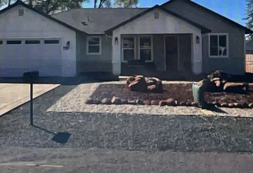
Now we’re being told to desiccate the land around our homes.
Why Los Angeles Burns: A Hidden History of Drying the Land
The most dangerous fires in Los Angeles history didn’t come from "overgrown vegetation.” They came from a century of engineering nature out of the city. Yet for over a century, that’s exactly what we’ve done. And now, we’re burning.
From the draining of wetlands to the paving of creeks to the installation of desiccating technologies like sand drains, Los Angeles has systematically dried out its land—and paid the price in heat, dust, and flame. It’s time to reverse course.
To understand why LA’s fires are getting worse, you have to look beneath the asphalt. The loss of shade and soil moisture in the name of “progress” has transformed LA from a mosaic of wetlands and coastal plains into a concrete heat sink—one engineered to burn.
Drawing from Engineering Nature, Igniting Risk, we trace the systemic desiccation that has made our city more flammable.
A Timeline of Drying:
1920s–40s: Roads laid across marshes and bluffs disrupted natural drainage patterns. Hill-stabilization systems (like the Palisades’ gas-furnace bluff dryers) actively removed soil moisture.
1938: After a devastating flood, the Los Angeles River was entombed in concrete. Ballona Creek followed. Water that once replenished wetlands now races away to sea.
1950s–70s: “Sand drains”—an engineering method designed to remove moisture from unstable soils—became standard in freeway and port construction. These systems turned former wetlands into buildable land—and fire-prone hardscape.
Present Day: These “techno-fixes” have failed to protect homes and have left us with a brittle, overheated landscape. Meanwhile, trees and moisture-rich plantings are being removed in the name of fire safety.

